After all of the troubles yesterday, today has been a breath of fresh air so far. We got up at 6:30 AM for breakfast at 7:00 AM and start of round 1 flights at 8:00 AM. Of the ten teams, we’re last on the list to fly, so we flew at around 1:00 pm. With the servos now adjusted properly (thanks to a member from team VAMUdeS for helping with this), we had a great manual takeoff, very stable flight, and even flew in auto1 (stabilized) flight for extended periods of time. We were also able to take pictures and start looking for targets. During our 30 minute flight block, we actually took off and landed twice. During the first flight we lost our telemetry link to the autopilot during takeoff, but it worked great during the second flight, so we’re not sure what went wrong. Also, we lost connection to the on-board computer while in the air, but re-acquired it after the plane came closer to the ground station. We were able to view and look for targets, although our ground imaging software wasn’t loading the new pictures properly, so we did this manually using an image viewer. After our 30 minute flight period, we had issues with the FTP transfer so copied the remaining images over via USB. We then filled out our target sheet with the three targets we found and submitted it to the judges (pictures of these targets to be added after the competition is over).
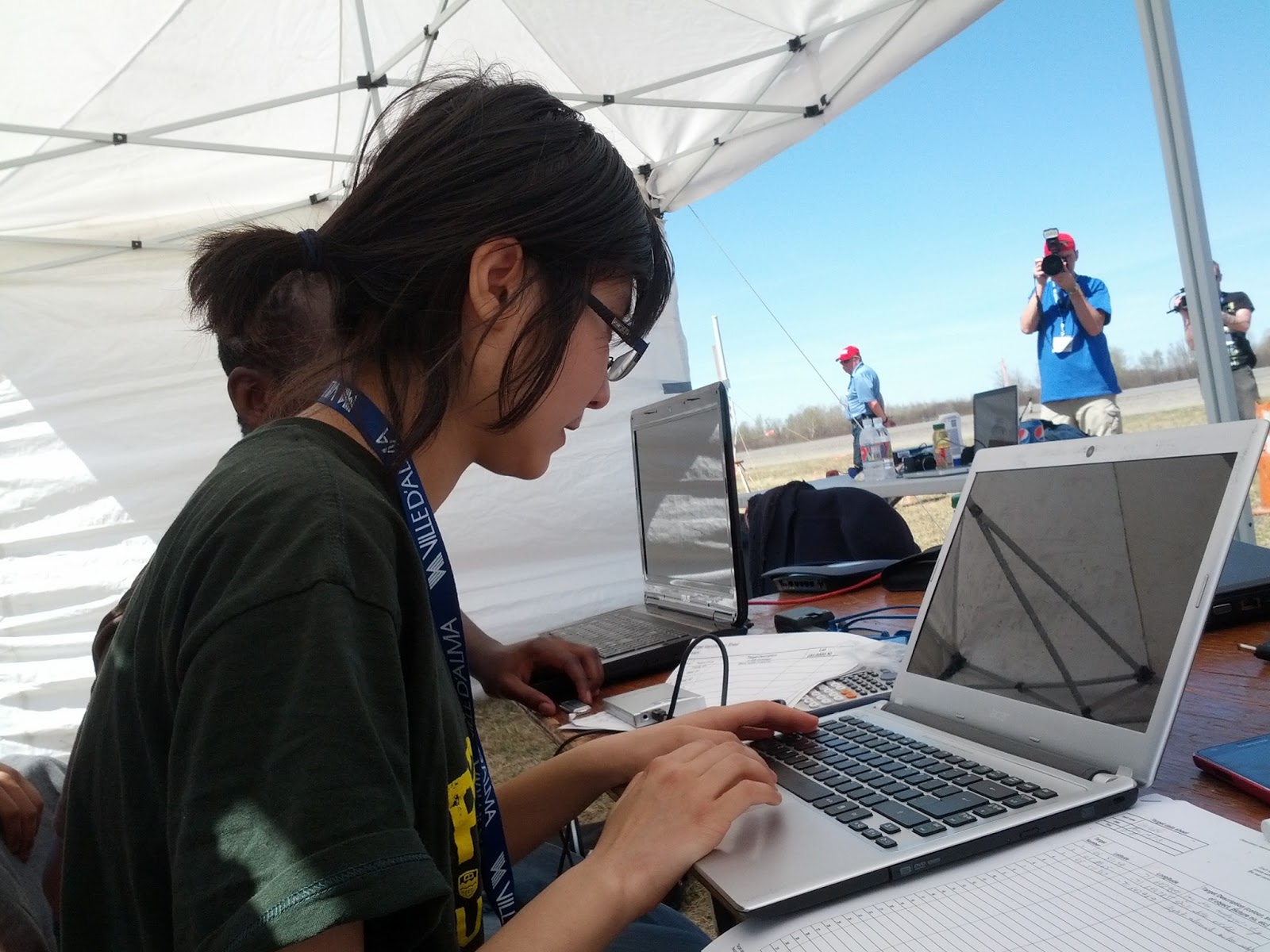
Cindy Xiao looking for targets during the flight
A portion of our flight
So we consider this flight a success and are working hard to make our next one even better. There are three things we’re working on:
- Get the FTP connection working reliable. As of this blog post, we actually think we’ve got this finished.
- Set up a second autopilot GCS for the pilot to view the plane on a map while flying in stabilized mode. This should let us fly further away from the takeoff area to cover a larger search area. As of this post, the setup has been done, but the decision as to whether we’ll actually fly further away will be made during out phase 2 flight tomorrow.
- Fix the ground imaging station software so that we can load and view pictures. Or, if this proves too difficult, create a new, simple program that will convert the UTM location data into lat and long data automatically.
We’ve been informed that the rest of phase 2 will start tomorrow, so that’s when we’ll be flying next. this gives us the opportunity to fix our issues and get a good night of sleep. As long as we don’t encounter any unexpected issues, tomorrow should be a great day.